Municipalities & DOTs
Hales partners with municipalities and transportation agencies to improve mobility, enhance safety, and support long-term community growth. From transportation master plans and traffic studies to safety evaluations and operational analyses, we provide practical, data-driven recommendations that help agencies make informed decisions with confidence.




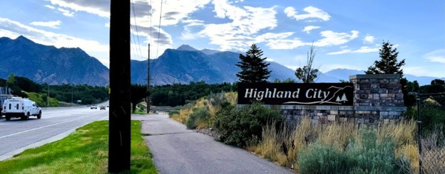
Highland City Transportation Master Plan
Hales led the development of Highland City's 2025 Transportation Master Plan (TMP), a comprehensive long-range transportation planning effort designed to guide infrastructure investment and accommodate community growth through 2050. Developed alongside the City's General Plan update, the TMP established a coordinated vision for Highland's roadway network, intersection operations, safety, active transportation, transit, and transportation policies. A major component of the project was understanding how future growth would affect travel throughout the city. Hales compiled traffic data and calibrated the Wasatch Front Travel Demand Model to better represent local conditions, then evaluated existing and future traffic volumes and roadway operations. Both build and no-build scenarios were analyzed to identify future congestion and determine where roadway and intersection improvements would be needed. The TMP extended beyond vehicle capacity. Hales evaluated crash history and intersections with elevated crash activity, incorporated active transportation and regional trail connections, and developed guidance for traffic calming and access management. Hales also created Traffic Impact Study guidelines to give the City a consistent process for evaluating transportation impacts associated with future development. Public and stakeholder engagement was integrated throughout the planning process, including open houses, advisory committee meetings, stakeholder interviews, workshops, and a resident survey. The final plan established a prioritized program of roadway, intersection, safety, and multimodal improvements to help Highland coordinate future development, prioritize transportation investments, and maintain a safe and connected transportation system as the community grows. At a Glance: Planning Through 2050 · 7 Higher-Crash Intersections Evaluated · Travel Demand Model Calibration · Roadway & Intersection Planning · Safety Analysis · Active Transportation · Public Engagement · TIS Guidelines


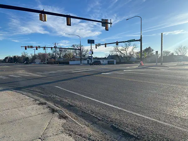
Kaysville Stop Control Traffic Study
Hales conducted a stop control traffic study in Kaysville to help determine appropriate intersection control based on both operational and safety considerations. The study combined traffic data and field observations with an evaluation of traffic volumes, sight distance, roadway geometry, and driver behavior. Hales applied criteria established by the Manual on Uniform Traffic Control Devices (MUTCD) to evaluate whether stop control was warranted and how alternative control strategies could affect intersection performance. The resulting recommendations balanced traffic operations with safety and provided the City with clear, defensible technical guidance for future traffic control decisions. At a Glance: Stop Control Study · MUTCD Criteria · Traffic Counts & Field Observations · Sight Distance · Roadway Geometry · Safety & Operations


Utah Department of Transportation (UDOT)
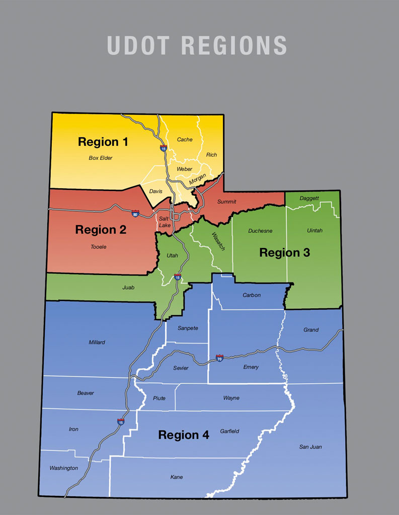
Hales acted as the review engineer for approximately 1,000 UDOT traffic studies for over a decade. These included traffic signal, left-turn phasing, speed, pedestrian crosswalk, advisory curve speed, and many other types of studies. Hales now serves in a study engineer capacity, performing many of these studies directly. We coordinate frequently with UDOT to ensure our studies are technically sound, and the variety of study types gives us unique experience in the transportation engineering field. At a Glance: Approximately 1,000 Traffic Studies Reviewed · 10+ Years as Review Engineer · Traffic Operations & Safety · Signal & Speed Studies · Pedestrian Studies · UDOT Coordination


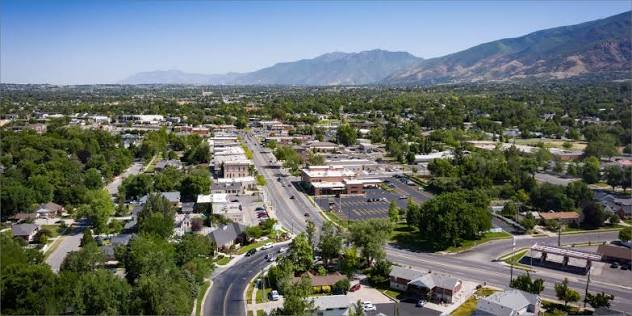
Vineyard Transportation Master Plan
Hales prepared Vineyard City's first Transportation Master Plan (TMP), establishing a comprehensive framework for the City's multimodal transportation system through 2050. The plan was developed in response to Vineyard's rapid growth and major planned developments, including Utah City and the Forge, and addressed how significant changes in population, employment, and land use would affect transportation needs throughout the community. Hales evaluated existing roadway and intersection operations, future travel demand, roadway capacity, functional classification, transit, bicycle and pedestrian facilities, and transportation safety. Future conditions were modeled using the regional travel demand model, adjusted to reflect Vineyard's land use and development assumptions. Hales analyzed both build and no-build scenarios to identify future deficiencies and develop phased roadway and intersection improvements. The long-range analysis addressed substantial anticipated growth and identified major infrastructure needs, including a proposed realignment of the Vineyard Connector. The new high-capacity connection was recommended to provide an alternative regional route, improve connectivity, and help divert through-traffic from central Vineyard. Hales also developed recommendations for roadway widening, new roadway connections, signals, intersection capacity improvements, and other projects needed as the city approaches buildout. Multimodal transportation was another major component of the plan. Hales evaluated existing and future public transit, including connections to the Vineyard FrontRunner Station, and considered future light rail, bus rapid transit, and local circulator opportunities. Bicycle and pedestrian recommendations incorporated shared-use paths, bike facilities, and improved connections between neighborhoods, parks, employment areas, and transit. The plan also included a transportation safety assessment addressing crash history, sight distance, intersection geometry, traffic calming, and access management. Hales coordinated extensively with Vineyard City, UDOT, MAG, UTA, Orem City, Lindon City, and the public throughout the process. The final TMP provides a phased strategy for transportation investment, helping Vineyard pursue funding, coordinate with regional partners, guide future development, improve safety, and build a connected multimodal transportation system as the city continues its rapid growth. At a Glance: City's First Transportation Master Plan · Planning Through 2050 · 56,000+ People & 30,000 Jobs Forecast at Buildout · Regional Travel Demand Modeling · Roadway & Intersection Planning · Transit & FrontRunner Connectivity · Active Transportation · Safety Analysis · Multi-Agency & Public Coordination


Kaysville City Roadway & Traffic Analysis
Hales evaluated roadway connectivity and future traffic needs associated with the Horizon residential development in Kaysville, a community of approximately 550 dwelling units. The study focused on a planned roadway extension and how the new connection would affect traffic distribution, roadway function, and the surrounding transportation network. Using projected traffic volumes and future growth forecasts, Hales evaluated the appropriate roadway classification, cross section, and right-of-way needs. The analysis helped the City determine a roadway design that could accommodate anticipated development without unnecessarily increasing the scale of the corridor. Hales ultimately recommended a two-lane configuration consistent with City standards and the surrounding neighborhood, providing a cost-effective approach that supports future growth while maintaining the corridor's community-scale character. At a Glance: 550 Dwelling Units · 3,000–4,000 Projected Vehicles per Day · Roadway & Traffic Analysis · Roadway Classification · Future Traffic Forecasting · Infrastructure Planning
.jpg)